The road between Mazatlán and Durango (Highway 40) is called “Espinazo del Diablo”, or “Devil’s Backbone,” due to its steep incline, hairpin turns, and sheer drop offs. Originally this spring break trip we had intended to leave Mazatlán and go over the Devil’s Backbone through Durango to Zacatecas. It’s only about 180 miles/300 km, not so far. But, it takes at least five hours, and some have even reported it taking ten hours! Many of our local friends convinced us that we should not do that because it was far too dangerous. Instead, our friends recommended we go around, through Guadalajara, making a big southern circle to get to Zacatecas. We followed advice and were happy we did. Our roundabout route enabled us to spend a few days in Guanajuato.
We intended to return the same route on the way home. Thanks to our friends’ advice, we were now scared about traveling over the reported 3800 curves of the Devil’s Backbone. But, who wants to retrace their steps? We wanted to see new territory, and we’d heard that the drive through the Sierras via Durango was gorgeous. Durango is a city fairly close to Mazatlán, with others being Culiacan or Guadalajara. There are not a lot of big cities nearby our home, and sometimes one craves a city.
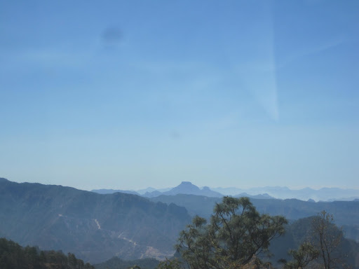
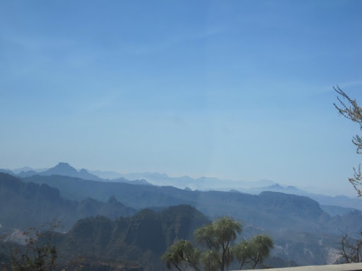
What we found today was a gorgeous drive with a much-improved roadway, and some fortunately very responsible drivers. While I wouldn’t want to make this drive often, I would definitely make it again. Neither Greg nor I felt it any worse than the drive to Tahoe or down Cañada Road on the SF Peninsula (N CA), or Oak Creek Canyon in AZ where I grew up. It is, however, much much longer.
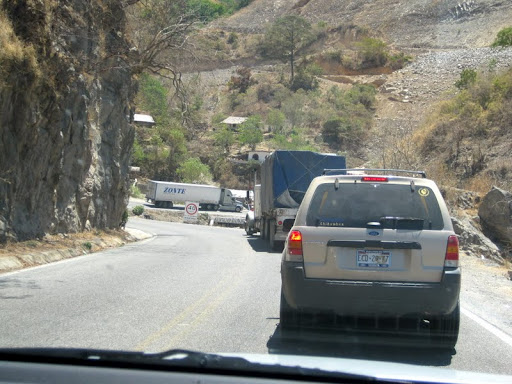
We left Durango about 9 am and arrived in Mazatlán about 3:00, with stops for breakfast and lunch on the way, as well as losing one hour to the time change. That means about a 5 hour drive from Durango to Mazatlán for us today. Over the curves we averaged 30 mph, but when we were stuck behind trucks or a line of cars we frequently progressed at 2 or 5 mph. It is definitely slow going!

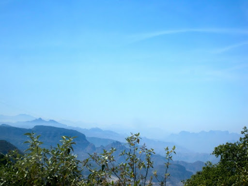
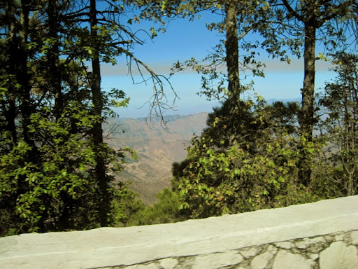
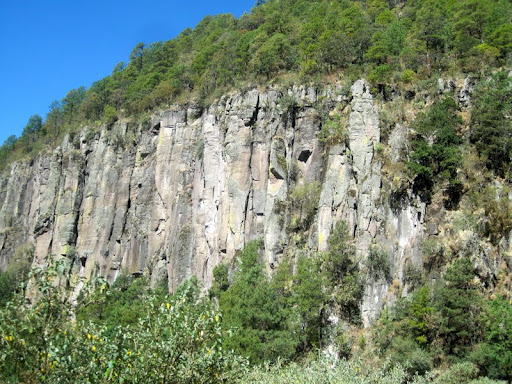
The new portion of the road that is open is terrific—two lanes each way, flat and smooth, clearly marked. The scenery along the route is terrific, with some unusual rock formations and incredible vistas.
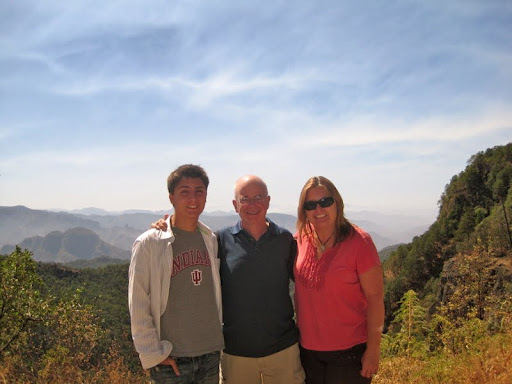
John Wayne’s ranch is along this route, as are a couple of national parks, some nature preserves, and several places to rent cabañas. Come summer I think it would be fun to go up there, rent a cabaña, and spend a few days sniffing the pine trees, hiking and mountain biking. It was wonderful to smell pine in the fresh air and to feel the nearly-freezing temperatures of the sunny morning. The highest point, we’ve been told, is 1890 meters/6200 feet, less than Flagstaff AZ where I grew up, and far less than Conifer CO where Danny grew up.


Once the new cuota ended the free road was two lane, with oncoming traffic. The actual “Espinazo del Diablo” or “Devil’s Backbone” of hairpin turns and steep drop offs is only a portion of the road between Durango and Mazatlán, a 2-3 hour portion depending on which big slow trucks you get behind and how kind they are to pull to the right when you want to pass. Greg and I felt it was not nearly as bad a drive as we had been led to believe. With the new highway, it should be great. There were guardrails in most of the places that needed guardrails, something others had mentioned as making this drive so dangerous. Our guess is the rails have been recently installed. The biggest danger is closer to the Mazatlán side, nearing Copala, where the road, at least today, was still two lane and had absolutely no shoulder. If you happen to be making a hairpin curve while some crazy person is passing in oncoming traffic, there is not much you can do. Fortunately, today we only had two small instances, both very manageable. So, as of now we’ve overcome our fear of the Devil’s Spine.


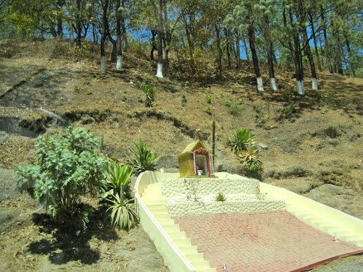
There were lots of cows and horses by the side of the road, free range, and we saw some turkeys as well. It was a very scenic drive. Unfortunately we also saw loads of roadside shrines, dedicated to people who had been killed in car accidents.

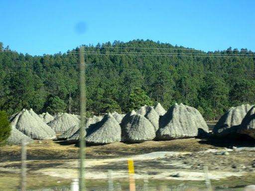
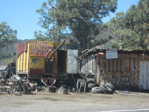
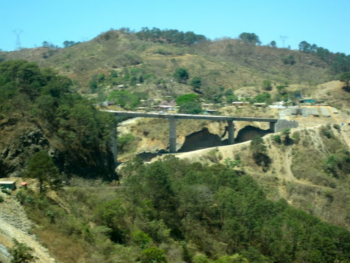
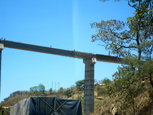
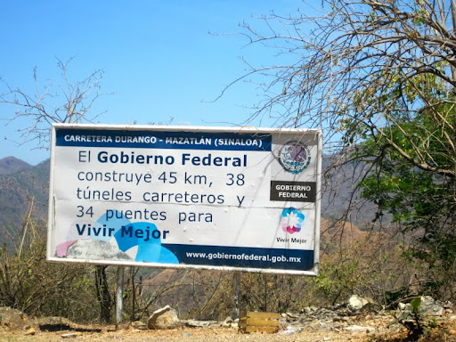
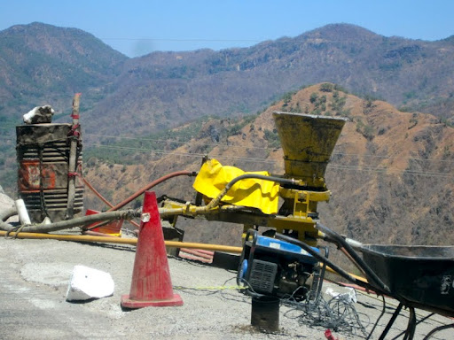
Along the way are many construction sites. Information on the signs varies, but
a website for the project indicates that the new road is going to include 63 tunnels along with 8 bridges over 300 feet in length and an assortment of smaller bridges. Along the way there are many makeshift towns that seemed to have arisen so that the road/bridge workers can have somewhere to live. Please visit
the website to get a better understanding of the engineering challenge in making this drive safer, quicker and easier.
The workers work in incredibly dangerous-looking conditions, with steep drop offs and no safety equipment from what we could see.
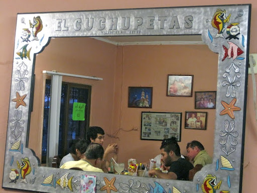
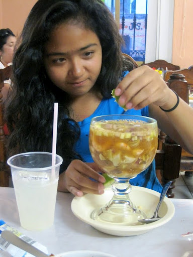
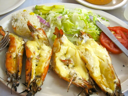
We had our last meal of this spring break holiday together in Villa Unión at Cuchupeta’s, a place we’ve long been planning to visit. We were not disappointed.